Description
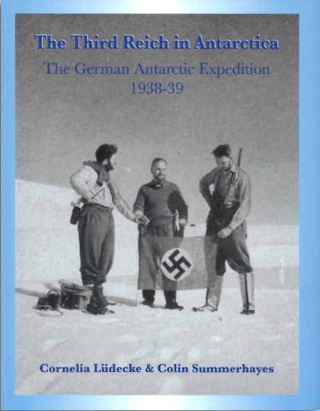
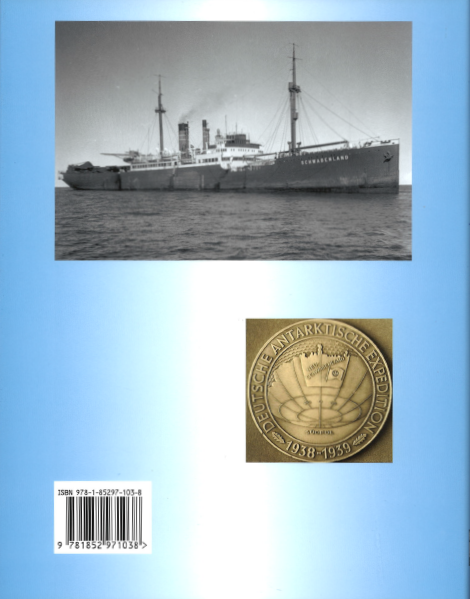
In 1936/37 Germany had joined the whaling nations in the South Atlantic, keen to obtain whale oil without having to use valuable foreign currency reserves needed for rearmament. Considering that it needed a local whaling base, Germany decided to explore the possibility of setting up a supply base on the coast of Dronning Maud Land. The man in charge of German whaling was Councillor of State Helmut Wohlthat who, in 1938, put this idea of unclaimed Antarctic territory as a territorial basis for German whaling to his superior, Hermann Gring, the Commissioner for the Four Year Plan for economic development. Following consultation with other ministries, Gring approved the concept, and on 9 May 1938 assigned resources for a reconnaissance expedition, including a ship and two seaplanes for aerial survey and photographic mapping. The Third German Antarctic Expedition was born. The expedition was led by Alfred Ritscher, a captain in the merchant marine On 19 January 1939 Schwabenland arrived off Dronning Maud Land and began charting the region. Nazi German flags were placed on the sea ice along the coast and the area was named Neu Schwabenland after the ship. Photographic survey flights were made by the ship s two Dornier-Wal seaplanes which altogether flew over hundreds of thousands of square kilometres and took more than 16,000 aerial photographs. On its return trip to Germany the expedition made oceanographic studies near Bouvet Island and investigated Trinidade Island off the coast of Brazil, arriving back in Hamburg on 11 April 1939.
Author/Forfatter:
Cornelia Lüdecke & Colin Summerhayes
Language/Språk:
English
Pages/Sider:
286
Year/Utgivelsesår:
2012
Binding: Hardback
Publisher/Forlag:
The Erskine Press


Reviews
There are no reviews yet.